
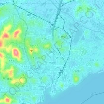
문화동 topographic map
Interactive map
Click on the map to display elevation.
문화동 topographic map, elevation, terrain
About this map
Name: 문화동 topographic map, elevation, terrain.
Location: 문화동, Nampo, North Korea (38.72081 125.38812 38.76081 125.42812)
Average elevation: 17 m
Minimum elevation: 2 m
Maximum elevation: 103 m