
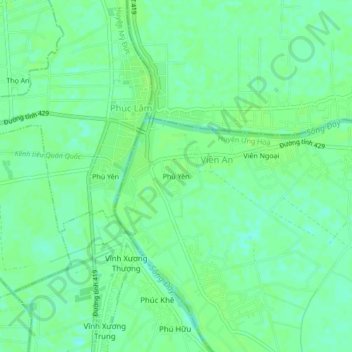
Phù Yên topographic map
Interactive map
Click on the map to display elevation.
Phù Yên topographic map, elevation, terrain
About this map
Name: Phù Yên topographic map, elevation, terrain.
Location: Phù Yên, Ứng Hòa District, Hanoi, Vietnam (20.78292 105.69272 20.82292 105.73272)
Average elevation: 7 m
Minimum elevation: 1 m
Maximum elevation: 10 m
Other topographic maps
Click on a map to view its topography, its elevation and its terrain.