
Comoé topographic map
Interactive map
Click on the map to display elevation.
About this map
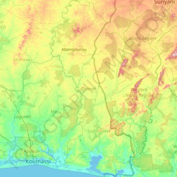
Name: Comoé topographic map, elevation, terrain.
Location: Comoé, Côte d'Ivoire (5.09047 -3.85480 7.35477 -2.72353)
Average elevation: 139 m
Minimum elevation: -2 m
Maximum elevation: 686 m
Other topographic maps
Click on a map to view its topography, its elevation and its terrain.