
Make a donation
Mysuru topographic map
Click on the map to display elevation.
Make a donation
Mysuru
Mysore is situated at the foothills of the Chamundi Hills. At an altitude of 770 m (2,530 ft) above mean sea level, the city of Mysore is geographically located at 12° 18′ 26″ north latitude and 76° 38′ 59″ east longitude. It is about 140 km (87.0 mi) southwest of the state's capital, Bangalore, and spreads across an area of 156 km2 (60 sq mi)(City + neighbouring census towns). The population of the city combined with its neighbouring towns in its metropolitan area is about 1,288,000 in 2023.
Make a donation
About this map
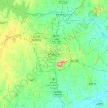
Name: Mysuru topographic map, elevation, terrain.
Location: Mysuru, Mysuru taluk, Mysuru, Karnataka, 570001, India (12.14518 76.49536 12.46518 76.81536)
Average elevation: 727 m
Minimum elevation: 640 m
Maximum elevation: 1,048 m
Make a donation