
Hatley topographic map
Interactive map
Click on the map to display elevation.
About this map
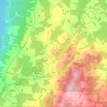
Name: Hatley topographic map, elevation, terrain.
Location: Hatley, Memphrémagog, Estrie, Quebec, Canada (45.16007 -72.03253 45.24040 -71.91729)
Average elevation: 294 m
Minimum elevation: 158 m
Maximum elevation: 445 m