
Høgevarde topographic map
Interactive map
Click on the map to display elevation.
About this map
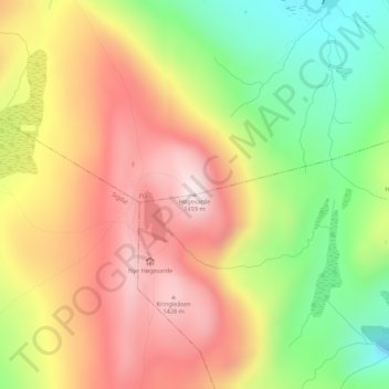
Name: Høgevarde topographic map, elevation, terrain.
Location: Høgevarde, Flå, Viken, Norway (60.29716 9.46658 60.29726 9.46668)
Average elevation: 1,232 m
Minimum elevation: 981 m
Maximum elevation: 1,457 m
Other topographic maps
Click on a map to view its topography, its elevation and its terrain.