
Støren topographic map
Interactive map
Click on the map to display elevation.
About this map
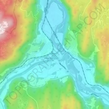
Name: Støren topographic map, elevation, terrain.
Location: Støren, Midtre Gauldal, Trøndelag, 7290, Norway (63.01495 10.27184 63.05495 10.31184)
Average elevation: 209 m
Minimum elevation: 55 m
Maximum elevation: 598 m