
Petiknäs topographic map
Interactive map
Click on the map to display elevation.
About this map
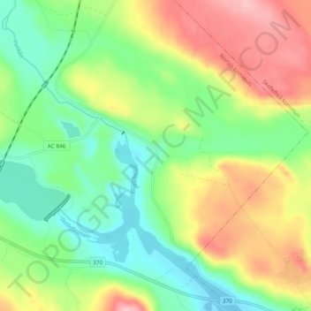
Name: Petiknäs topographic map, elevation, terrain.
Location: Petiknäs, Norsjö kommun, Västerbotten County, Sweden (64.91893 20.03224 64.95893 20.07224)
Average elevation: 215 m
Minimum elevation: 158 m
Maximum elevation: 300 m
Other topographic maps
Click on a map to view its topography, its elevation and its terrain.