
Iča topographic map
Interactive map
Click on the map to display elevation.
About this map
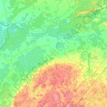
Name: Iča topographic map, elevation, terrain.
Location: Iča, Latgale, Latvia (56.60440 26.97957 56.86965 27.49160)
Average elevation: 119 m
Minimum elevation: 87 m
Maximum elevation: 197 m
Other topographic maps
Click on a map to view its topography, its elevation and its terrain.