
Kapitea Reservoir topographic map
Interactive map
Click on the map to display elevation.
About this map
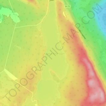
Name: Kapitea Reservoir topographic map, elevation, terrain.
Average elevation: 146 m
Minimum elevation: 34 m
Maximum elevation: 241 m
Other topographic maps
Click on a map to view its topography, its elevation and its terrain.
Kumara
Kumara, Westland District, West Coast, 7832, New Zealand
Average elevation: 73 m