
Afadé topographic map
Interactive map
Click on the map to display elevation.
About this map
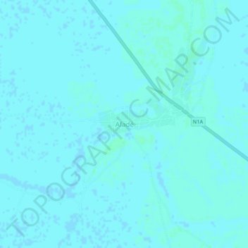
Name: Afadé topographic map, elevation, terrain.
Location: Afadé, Makary, Logone-et-Chari, Far-North, Cameroon (12.21301 14.61210 12.25301 14.65210)
Average elevation: 291 m
Minimum elevation: 290 m
Maximum elevation: 293 m