
Thank you for supporting this site ❤️
Make a donation
Make a donation
Western Province topographic map
Click on the map to display elevation.
Thank you for supporting this site ❤️
Make a donation
Make a donation
About this map
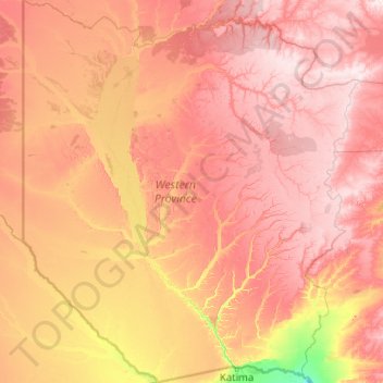
Name: Western Province topographic map, elevation, terrain.
Location: Western Province, Zambia (-17.63787 21.99935 -13.71273 25.58648)
Average elevation: 1,069 m
Minimum elevation: 927 m
Maximum elevation: 1,249 m
Thank you for supporting this site ❤️
Make a donation
Make a donation