
Anda topographic map
Click on the map to display elevation.
About this map
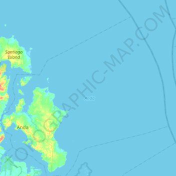
Name: Anda topographic map, elevation, terrain.
Location: Anda, Pangasinan, Ilocos Region, 2405, Philippines (16.21458 119.91385 16.45516 120.17702)
Average elevation: 19 m
Minimum elevation: -2 m
Maximum elevation: 152 m