
Saint-Zénon topographic map
Interactive map
Click on the map to display elevation.
About this map
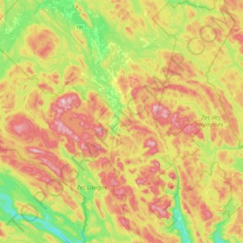
Name: Saint-Zénon topographic map, elevation, terrain.
Location: Saint-Zénon, Matawinie, Lanaudière, Quebec, J0K 3N0, Canada (46.39128 -73.93816 46.67992 -73.52299)
Average elevation: 488 m
Minimum elevation: 280 m
Maximum elevation: 734 m
Other topographic maps
Click on a map to view its topography, its elevation and its terrain.