
Thank you for supporting this site ❤️
Make a donation
Make a donation
Oak Park topographic map
Click on the map to display elevation.
Thank you for supporting this site ❤️
Make a donation
Make a donation
About this map
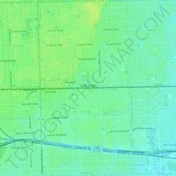
Name: Oak Park topographic map, elevation, terrain.
Location: Oak Park, Cook County, Illinois, United States (41.86499 -87.80577 41.90925 -87.77413)
Average elevation: 192 m
Minimum elevation: 185 m
Maximum elevation: 198 m
Thank you for supporting this site ❤️
Make a donation
Make a donation
Other topographic maps
Click on a map to view its topography, its elevation and its terrain.