
Thank you for supporting this site ❤️
Make a donation
Make a donation
Hayneville topographic map
Click on the map to display elevation.
Thank you for supporting this site ❤️
Make a donation
Make a donation
About this map
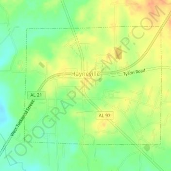
Name: Hayneville topographic map, elevation, terrain.
Location: Hayneville, Lowndes County, Alabama, United States (32.17278 -86.59166 32.19148 -86.56605)
Average elevation: 66 m
Minimum elevation: 46 m
Maximum elevation: 85 m
Thank you for supporting this site ❤️
Make a donation
Make a donation
Other topographic maps
Click on a map to view its topography, its elevation and its terrain.