
Pasil topographic map
Click on the map to display elevation.
About this map
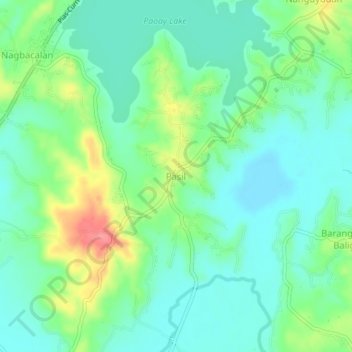
Name: Pasil topographic map, elevation, terrain.
Location: Pasil, Ilocos Norte, Ilocos Region, 2902, Philippines (18.08090 120.51987 18.12090 120.55987)
Average elevation: 27 m
Minimum elevation: 3 m
Maximum elevation: 82 m
Other topographic maps
Click on a map to view its topography, its elevation and its terrain.