
Thank you for supporting this site ❤️
Make a donation
Make a donation
Ungka topographic map
Click on the map to display elevation.
Thank you for supporting this site ❤️
Make a donation
Make a donation
About this map
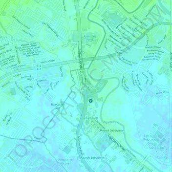
Name: Ungka topographic map, elevation, terrain.
Location: Ungka, Jaro, Iloilo City, Western Visayas, 5000, Philippines (10.74340 122.53710 10.74906 122.54487)
Average elevation: 11 m
Minimum elevation: 8 m
Maximum elevation: 16 m
Thank you for supporting this site ❤️
Make a donation
Make a donation
Other topographic maps
Click on a map to view its topography, its elevation and its terrain.