
Visočane topographic map
Interactive map
Click on the map to display elevation.
About this map
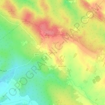
Name: Visočane topographic map, elevation, terrain.
Location: Visočane, Općina Poličnik, Zadar County, 23241, Croatia (44.18529 15.32621 44.22529 15.36621)
Average elevation: 88 m
Minimum elevation: 47 m
Maximum elevation: 127 m