
Donja Pušća topographic map
Interactive map
Click on the map to display elevation.
About this map
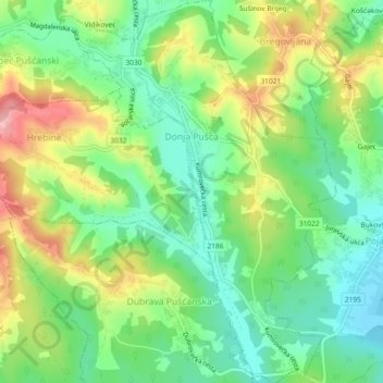
Name: Donja Pušća topographic map, elevation, terrain.
Location: Donja Pušća, Općina Pušća, Zagreb County, 10294, Croatia (45.89225 15.76337 45.92431 15.79668)
Average elevation: 187 m
Minimum elevation: 128 m
Maximum elevation: 282 m