
Minnetonka topographic map
Interactive map
Click on the map to display elevation.
About this map
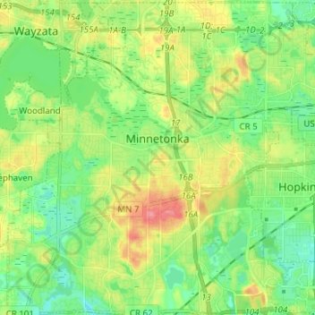
Name: Minnetonka topographic map, elevation, terrain.
Location: Minnetonka, Hennepin County, Minnesota, United States (44.89140 -93.52334 44.97884 -93.39900)
Average elevation: 290 m
Minimum elevation: 260 m
Maximum elevation: 341 m