
Thank you for supporting this site ❤️
Make a donation
Make a donation
Laguna Vista topographic map
Click on the map to display elevation.
Thank you for supporting this site ❤️
Make a donation
Make a donation
About this map
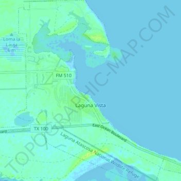
Name: Laguna Vista topographic map, elevation, terrain.
Location: Laguna Vista, Cameron County, Texas, United States (26.07559 -97.32756 26.13597 -97.26262)
Average elevation: 2 m
Minimum elevation: -4 m
Maximum elevation: 13 m
Thank you for supporting this site ❤️
Make a donation
Make a donation