
Pleasanton topographic map
Interactive map
Click on the map to display elevation.
About this map
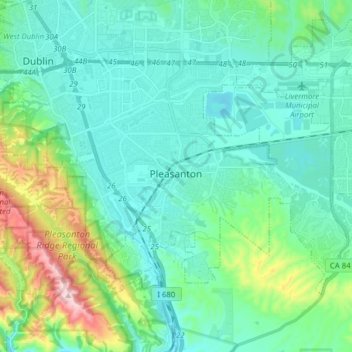
Name: Pleasanton topographic map, elevation, terrain.
Location: Pleasanton, Alameda County, California, United States (37.62006 -121.95497 37.70304 -121.79892)
Average elevation: 187 m
Minimum elevation: 70 m
Maximum elevation: 663 m