
Thank you for supporting this site ❤️
Make a donation
Make a donation
Isla Colón topographic map
Click on the map to display elevation.
Thank you for supporting this site ❤️
Make a donation
Make a donation
About this map
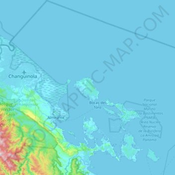
Name: Isla Colón topographic map, elevation, terrain.
Location: Isla Colón, Bocas del Toro, Panamá (9.08266 -82.59872 9.72266 -81.95872)
Average elevation: 64 m
Minimum elevation: -2 m
Maximum elevation: 1,500 m
Thank you for supporting this site ❤️
Make a donation
Make a donation