
Thank you for supporting this site ❤️
Make a donation
Make a donation
Bornem topographic map
Click on the map to display elevation.
Thank you for supporting this site ❤️
Make a donation
Make a donation
About this map
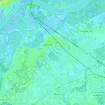
Name: Bornem topographic map, elevation, terrain.
Location: Bornem, Mechelen, Antwerpen, Vlaanderen, 2880, België (51.05988 4.18283 51.12168 4.27958)
Average elevation: 4 m
Minimum elevation: -4 m
Maximum elevation: 19 m
Thank you for supporting this site ❤️
Make a donation
Make a donation