
Peña Blanca topographic map
Interactive map
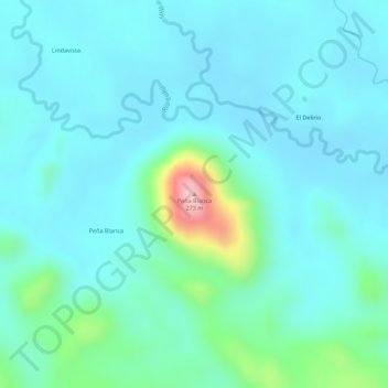
Click on the map to display elevation.
About this map
Name: Peña Blanca topographic map, elevation, terrain.
Average elevation: 92 m
Minimum elevation: 54 m
Maximum elevation: 259 m
Other topographic maps
Click on a map to view its topography, its elevation and its terrain.
Jinotega
The city of Jinotega "Las Brumas" is the departmental capital of the homonymous department with an urban population of 53 265 inhabitants in the year 2017. It is located in a valley at an altitude of 1,003.87 meters above sea level with a cool climate at an average temperature of 25 °C and a distance of 142…
Average elevation: 524 m
Managua
Managua, due to its tropical climate, varied topography, naturally fertile soils, and abundant rain and water sources, boasts a great variety of flora. Many different types of trees, some of which are not found elsewhere in the world, appear, including chilamates, ceibos, pochotes, genízaros, tigüilotes,…
Average elevation: 223 m