
Thank you for supporting this site ❤️
Make a donation
Make a donation
Hatti Bk topographic map
Click on the map to display elevation.
Thank you for supporting this site ❤️
Make a donation
Make a donation
About this map
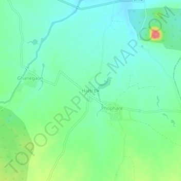
Name: Hatti Bk topographic map, elevation, terrain.
Location: Hatti Bk, Sakri Taluka, Dhule District, Maharashtra, India (21.04156 74.49280 21.08156 74.53280)
Average elevation: 319 m
Minimum elevation: 296 m
Maximum elevation: 378 m
Thank you for supporting this site ❤️
Make a donation
Make a donation