
Peñaplata topographic map
Interactive map
Click on the map to display elevation.
About this map
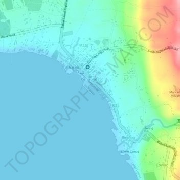
Name: Peñaplata topographic map, elevation, terrain.
Average elevation: 27 m
Minimum elevation: 0 m
Maximum elevation: 137 m
Other topographic maps
Click on a map to view its topography, its elevation and its terrain.
Adecor
Philippines > Davao del Norte > Samal
Adecor, Kaputian District, Samal, Davao del Norte, Davao Region, Philippines
Average elevation: 88 m
Buhangin
Philippines > Davao del Norte > Samal
Buhangin, Tagbaobo, Kaputian District, Samal, Davao del Norte, Davao Region, Philippines
Average elevation: 193 m