
Thank you for supporting this site ❤️
Make a donation
Make a donation
Crownsville topographic map
Click on the map to display elevation.
Thank you for supporting this site ❤️
Make a donation
Make a donation
About this map
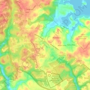
Name: Crownsville topographic map, elevation, terrain.
Location: Crownsville, Anne Arundel County, Maryland, United States (38.99682 -76.61543 39.04270 -76.56224)
Average elevation: 30 m
Minimum elevation: -2 m
Maximum elevation: 52 m
Thank you for supporting this site ❤️
Make a donation
Make a donation