
Thank you for supporting this site ❤️
Make a donation
Make a donation
Necker Island topographic map
Click on the map to display elevation.
Thank you for supporting this site ❤️
Make a donation
Make a donation
About this map
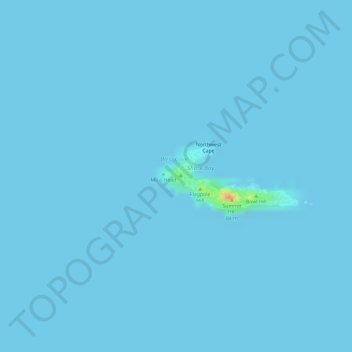
Name: Necker Island topographic map, elevation, terrain.
Location: Necker Island, Honolulu County, Hawaii, United States (23.57400 -164.70630 23.57895 -164.69470)
Average elevation: 0 m
Minimum elevation: 0 m
Maximum elevation: 46 m
Thank you for supporting this site ❤️
Make a donation
Make a donation
Other topographic maps
Click on a map to view its topography, its elevation and its terrain.