
Puerto San Andrés topographic map
Interactive map
Click on the map to display elevation.
About this map
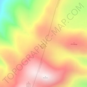
Name: Puerto San Andrés topographic map, elevation, terrain.
Location: Puerto San Andrés, General Zaragoza, Nuevo León, Mexico (23.81910 -99.84274 23.81920 -99.84264)
Average elevation: 3,170 m
Minimum elevation: 2,698 m
Maximum elevation: 3,445 m