
Dau topographic map
Click on the map to display elevation.
About this map
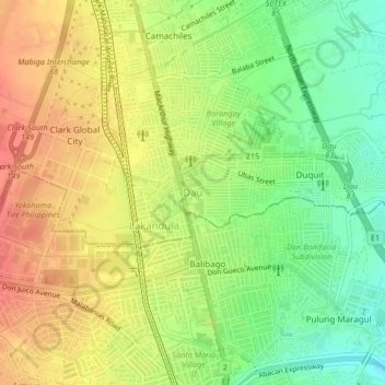
Name: Dau topographic map, elevation, terrain.
Location: Dau, Mabalacat, Pampanga, Central Luzon, 2010, Philippines (15.15607 120.56874 15.19607 120.60874)
Average elevation: 100 m
Minimum elevation: 69 m
Maximum elevation: 128 m