
Kvåfjord topographic map
Interactive map
Click on the map to display elevation.
About this map
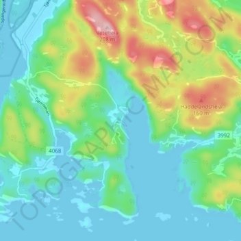
Name: Kvåfjord topographic map, elevation, terrain.
Location: Kvåfjord, Lindesnes, Agder, Norway (58.02238 7.29529 58.06238 7.33529)
Average elevation: 53 m
Minimum elevation: -2 m
Maximum elevation: 188 m
Other topographic maps
Click on a map to view its topography, its elevation and its terrain.