
Thank you for supporting this site ❤️
Make a donation
Make a donation
Mt. Akagi topographic map
Click on the map to display elevation.
Thank you for supporting this site ❤️
Make a donation
Make a donation
About this map
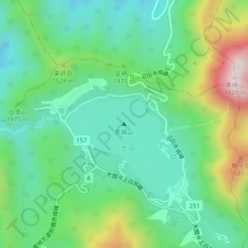
Name: Mt. Akagi topographic map, elevation, terrain.
Location: Mt. Akagi, Maebashi, Gunma Prefecture, Japan (36.55519 139.17818 36.55529 139.17828)
Average elevation: 1,430 m
Minimum elevation: 1,268 m
Maximum elevation: 1,804 m
Thank you for supporting this site ❤️
Make a donation
Make a donation