
Nättraby topographic map
Interactive map
Click on the map to display elevation.
About this map
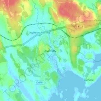
Name: Nättraby topographic map, elevation, terrain.
Location: Nättraby, Karlskrona kommun, Blekinge County, 370 24, Sweden (56.18030 15.51520 56.22030 15.55520)
Average elevation: 15 m
Minimum elevation: -2 m
Maximum elevation: 55 m