
Runcorn topographic map
Click on the map to display elevation.
About this map
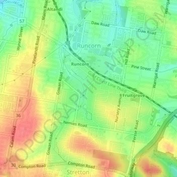
Name: Runcorn topographic map, elevation, terrain.
Location: Runcorn, Brisbane City, Queensland, 4113, Australia (-27.61363 153.06200 -27.58222 153.09606)
Average elevation: 65 m
Minimum elevation: 36 m
Maximum elevation: 95 m