
Thank you for supporting this site ❤️
Make a donation
Make a donation
Grand Rapids topographic map
Click on the map to display elevation.
Thank you for supporting this site ❤️
Make a donation
Make a donation
About this map
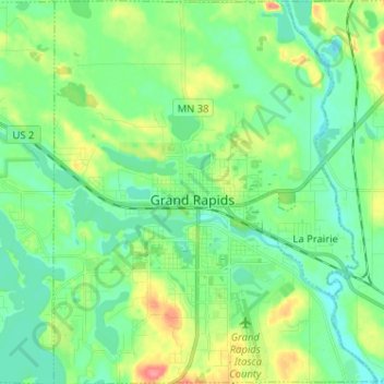
Name: Grand Rapids topographic map, elevation, terrain.
Location: Grand Rapids, Itasca County, Minnesota, 55744, United States (47.19514 -93.57676 47.28229 -93.46832)
Average elevation: 398 m
Minimum elevation: 377 m
Maximum elevation: 448 m
Thank you for supporting this site ❤️
Make a donation
Make a donation