
Thank you for supporting this site ❤️
Make a donation
Make a donation
Lauder topographic map
Click on the map to display elevation.
Thank you for supporting this site ❤️
Make a donation
Make a donation
About this map
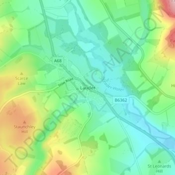
Name: Lauder topographic map, elevation, terrain.
Location: Lauder, Scottish Borders, Scotland, TD2 6SR, United Kingdom (55.69936 -2.76838 55.73936 -2.72838)
Average elevation: 207 m
Minimum elevation: 147 m
Maximum elevation: 352 m
Thank you for supporting this site ❤️
Make a donation
Make a donation
Other topographic maps
Click on a map to view its topography, its elevation and its terrain.