
Mapleton topographic map
Click on the map to display elevation.
About this map
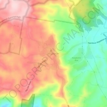
Name: Mapleton topographic map, elevation, terrain.
Location: Mapleton, Sunshine Coast, Queensland, Australia (-26.64414 152.84616 -26.60414 152.88616)
Average elevation: 337 m
Minimum elevation: 202 m
Maximum elevation: 455 m