
Aberystwyth topographic map
Interactive map
Click on the map to display elevation.
About this map
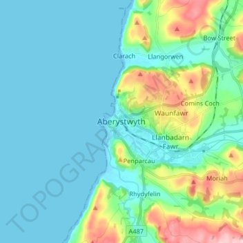
Name: Aberystwyth topographic map, elevation, terrain.
Location: Aberystwyth, Ceredigion, Wales, SY23 1LA, United Kingdom (52.37431 -4.12168 52.45431 -4.04168)
Average elevation: 39 m
Minimum elevation: -1 m
Maximum elevation: 195 m