
Watchman Island / Te Kākāwhakaara topographic map
Interactive map
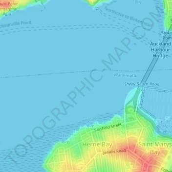
Click on the map to display elevation.
About this map
Name: Watchman Island / Te Kākāwhakaara topographic map, elevation, terrain.
Average elevation: 8 m
Minimum elevation: -6 m
Maximum elevation: 61 m
Auckland trails, hiking, mountain biking, running and outdoor activities
Other topographic maps
Click on a map to view its topography, its elevation and its terrain.
Auckland Domain
New Zealand > Auckland > Auckland
During the 2023 Auckland Anniversary Weekend floods, a lake reformed in the lower elevation area of Pukekawa / Auckland Domain that was once a wetland.
Average elevation: 49 m