
Thank you for supporting this site ❤️
Make a donation
Make a donation
Castle Hill topographic map
Click on the map to display elevation.
Thank you for supporting this site ❤️
Make a donation
Make a donation
About this map
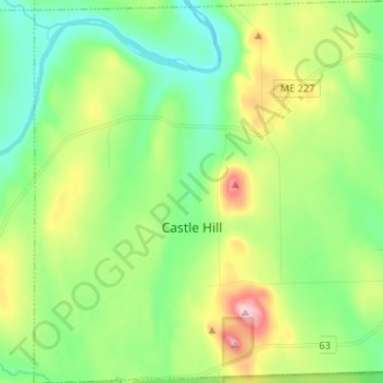
Name: Castle Hill topographic map, elevation, terrain.
Location: Castle Hill, Aroostook County, Maine, United States (46.65782 -68.30076 46.74750 -68.17257)
Average elevation: 216 m
Minimum elevation: 135 m
Maximum elevation: 389 m
Thank you for supporting this site ❤️
Make a donation
Make a donation