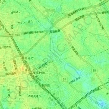
藤右衛門放水路 topographic map
Interactive map
Click on the map to display elevation.
About this map
Name: 藤右衛門放水路 topographic map, elevation, terrain.
Average elevation: 14 m
Minimum elevation: 2 m
Maximum elevation: 23 m

Click on the map to display elevation.
Name: 藤右衛門放水路 topographic map, elevation, terrain.
Average elevation: 14 m
Minimum elevation: 2 m
Maximum elevation: 23 m