
Östhammars kommun topographic map
Interactive map
Click on the map to display elevation.
Östhammars kommun topographic map, elevation, terrain
About this map
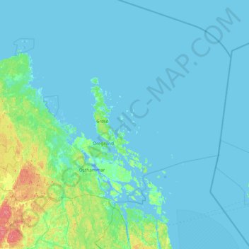
Name: Östhammars kommun topographic map, elevation, terrain.
Location: Östhammars kommun, Uppsala County, Sweden (60.02283 17.70255 60.75581 19.19657)
Average elevation: 10 m
Minimum elevation: -7 m
Maximum elevation: 79 m
Other topographic maps
Click on a map to view its topography, its elevation and its terrain.