
Ongwediva topographic map
Interactive map
Click on the map to display elevation.
About this map
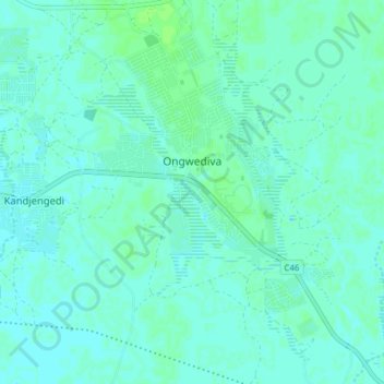
Name: Ongwediva topographic map, elevation, terrain.
Location: Ongwediva, Oshana, 15006, Namibia (-17.80132 15.73426 -17.75326 15.78107)
Average elevation: 1,098 m
Minimum elevation: 1,095 m
Maximum elevation: 1,102 m