
Strambinello topographic map
Interactive map
Click on the map to display elevation.
About this map
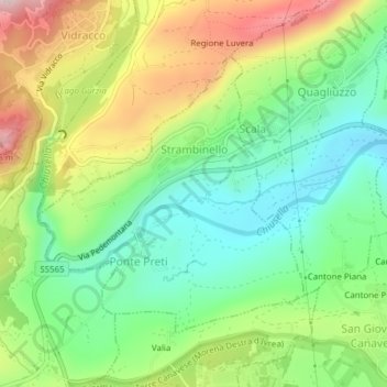
Name: Strambinello topographic map, elevation, terrain.
Location: Strambinello, Turin, Piémont, Italie (45.40989 7.75287 45.42920 7.77942)
Average elevation: 392 m
Minimum elevation: 262 m
Maximum elevation: 595 m