
Beuningen topographic map
Interactive map
Click on the map to display elevation.
About this map
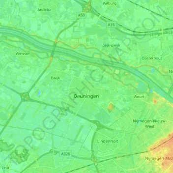
Name: Beuningen topographic map, elevation, terrain.
Location: Beuningen, Gelderland, Netherlands, The Netherlands (51.83227 5.66785 51.89567 5.82570)
Average elevation: 10 m
Minimum elevation: 0 m
Maximum elevation: 29 m