
Lemon Grove topographic map
Interactive map
Click on the map to display elevation.
About this map
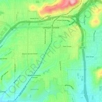
Name: Lemon Grove topographic map, elevation, terrain.
Location: Lemon Grove, San Diego County, California, 91945, USA (32.71508 -117.06345 32.75029 -117.01410)
Average elevation: 129 m
Minimum elevation: 74 m
Maximum elevation: 241 m