
Ōkārito topographic map
Interactive map
Click on the map to display elevation.
About this map
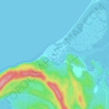
Name: Ōkārito topographic map, elevation, terrain.
Location: Ōkārito, Westland District, West Coast, New Zealand (-43.24355 170.14265 -43.20355 170.18265)
Average elevation: 25 m
Minimum elevation: -4 m
Maximum elevation: 160 m
Other topographic maps
Click on a map to view its topography, its elevation and its terrain.
Three Mile Lagoon
Three Mile Lagoon, Three Mile Bridge, Okarito, Westland District, West Coast, New Zealand
Average elevation: 34 m