
Parma topographic map
Interactive map
Click on the map to display elevation.
About this map
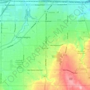
Name: Parma topographic map, elevation, terrain.
Location: Parma, Cuyahoga County, Ohio, United States of America (41.35038 -81.78506 41.41941 -81.68451)
Average elevation: 282 m
Minimum elevation: 226 m
Maximum elevation: 384 m